A visitor to The Forest of Nisene Marks State Park does the same thing every time. They drive up Aptos Creek Road, hunt for a spot in the gravel lot below the entrance station, feed a few dollars into the day-use envelope, and pick up a paper trail map from whoever's staffing the kiosk that morning. That's the front door.
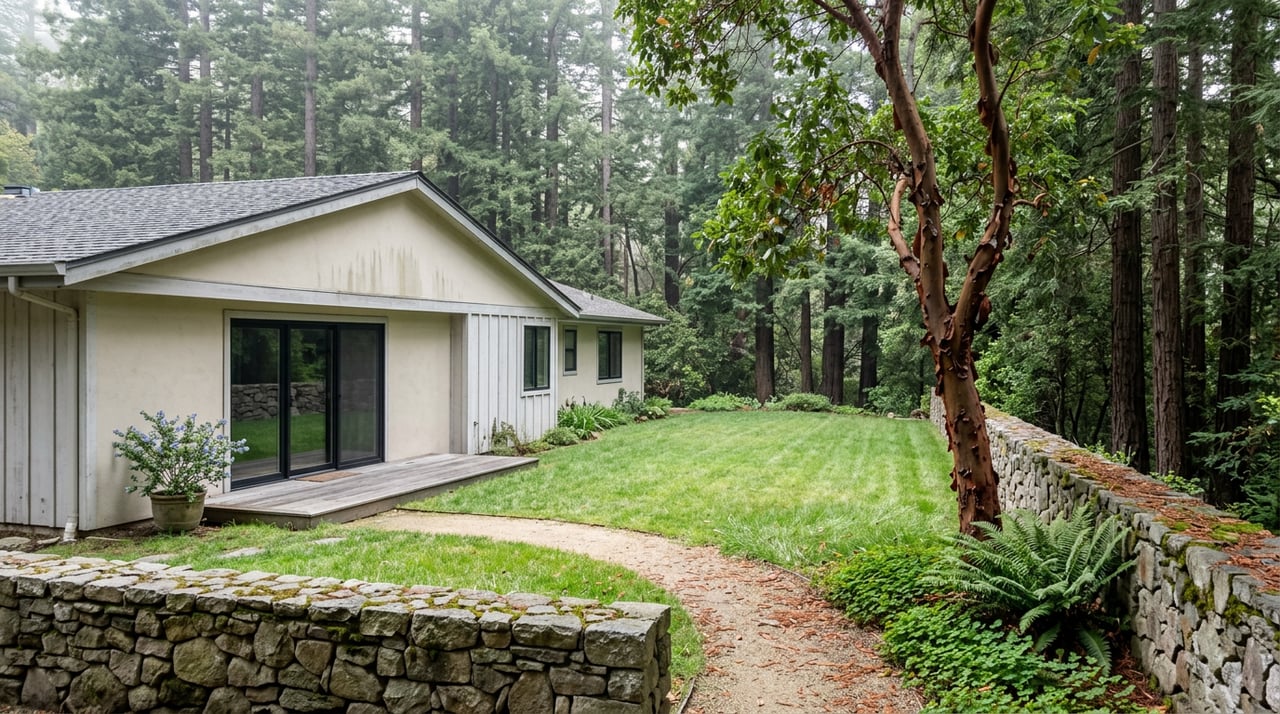
Aptos Hills doesn't use it. Along the hillside streets that back straight up against the park, one of the four legal singletrack bike trails inside Nisene Marks carries the neighborhood's own name: the Vienna Woods Trail. Mountain bikers who track these routes on Trailforks describe it as a back door entrance and exit, a dirt cut-through from the top of the trail to the streets of the Vienna Woods neighborhood. No parking lot, no envelope, no kiosk. You just walk out your door and you're in the redwoods.
That distinction matters more this year than it usually does, because the park behind these houses just went through the first real change to its landscape in over a century, and the same neighbors who maintain the back door are the reason it happened safely.
Who Actually Builds the Bridge
Every spring, before the creek crossings dry out enough for hikers to manage them on foot, a nonprofit called the Advocates for the Forest of Nisene Marks builds and installs two footbridges across Aptos Creek by hand. Every fall, before winter storms can wash them out, the same crew pulls them back down. This isn't state parks staff running heavy equipment. It's neighbors with hand tools.
The Advocates formed in 1992, and the founding roster reads like a cross-section of people who actually lived here: Sandy Lydon, Jim Nee, Jeff Hicks, and Margaret Miller, who later became Margaret Hicks. One of the two bridges, located just above the Porter Family Picnic Area, still carries her name. Margaret's Bridge isn't a plaque on state infrastructure. It's a structure built by community volunteers and named after one of the four people who decided this park was worth organizing around in the first place.
The scale of that organizing shows up in the numbers. For the year ending May 2025, the Advocates logged 286 volunteers who put in more than 1,000 hours of trail work. That's not a fundraising gala number. That's people showing up on the third Sunday of every month at 9:30 in the morning, gathering at the entrance kiosk with work gloves and water bottles, clearing brush and ditches and cutting through fallen trees until the work session wraps around 2 p.m. The next one lands on September 20, 2026.
Trail Names That Only Mean Something If You Live Here
Below the park's steel bridge, four singletrack trails are open to bikes: Aptos Rancho, Split Stuff, Terrace, and Vienna Woods. Split Stuff gets its name from the hand-cut shingles, posts, and pickets loggers produced right where a fallen tree landed, a detail that only makes sense once you know the land was logged clear between 1883 and 1923. Aptos Rancho runs through what used to be part of a Mexican land grant awarded to Rafael Castro in 1833, long before anyone called this Aptos Hills.
None of that history is on a sign at the trailhead. It's the kind of thing you pick up over years of walking the same ground, which is exactly the point. A tourist with a day pass sees a network of numbered trails. A neighbor sees Margaret's Bridge, the Vienna Woods cut-through, and a fire road climb that a State Parks writeup once called one of the most expansive views in the county, reached after 5.7 miles up Aptos Creek Fire Road to the Sand Point overlook.
The Fire Nobody Was Afraid Of
Here's what changed. Starting in mid-July 2024, the Resource Conservation District of Santa Cruz County and California State Parks began a 211-acre forest health project along Buzzard Lagoon Road and Aptos Creek Fire Road, deep in the upper Aptos Creek watershed. Crews built burn piles, masticated ladder fuels, and felled hazard trees within 100 feet of the road, all to prepare the ground for something that hadn't happened there in more than a hundred years: an actual, deliberate fire.
That fire came in early 2026. A multi-day prescribed burn covering roughly 13 acres along Santa Rosalia Ridge went forward, coordinated with the Monterey Bay Air Resources District to keep smoke impacts manageable. Residents in Soquel and Corralitos likely saw the haze, and it was visible as far as Monterey. The park itself stayed open through the burn, though State Parks advised limiting outdoor activity near the active fire lines.
This is worth sitting with for a second. Most of this watershed hasn't burned in over a century, according to State Parks environmental staff who worked on the project. That absence isn't neutral. Without periodic fire, faster-growing Douglas fir tends to shade out madrone and other hardwoods that depend on more open conditions. The burn wasn't damage control. It was ecological maintenance that the land had been overdue for since before anyone living on these streets today was born. If you want the details or have questions about future burn windows, State Parks runs a dedicated line for it at 831-216-6459.
What to Actually Check Before You Head Out
None of this history changes what you need to know for a Saturday hike this fall. A few things are still true on the ground:
- Storm damage from earlier this year has kept some trails and the parking apron along Aptos Creek Road closed, with State Parks holding that closure in place as of early summer. Check the entrance kiosk or the park's own alerts before you commit to a route.
- Dogs are allowed on Aptos Creek Road below the Porter Family Picnic Area and on the four singletrack trails below the steel bridge, on leashes no longer than six feet. Past that gate, it's service animals only.
- The next Advocates trail day is September 20, 2026, at 9:30 a.m. at the entrance kiosk. If the bridges or the back door trails ever feel a little more solid than they should for a state park running on a shoestring budget, this is why.
- If redwoods aren't the plan that day, Aptos High School's 18-hole disc golf course on Mariner Way opens to the public after 4 p.m. on school days and sunrise to sunset on weekends and holidays, no fee required.
The Point of All This
Most neighborhoods sit near a park. Aptos Hills is stitched into one, through a trail that carries its own name, a bridge named for a woman who helped found the organization that builds it every spring, and a fire that came back to the ridgeline because volunteers spent two years getting the ground ready for it. The people who maintain the back door and the people who watched the smoke from Santa Rosalia Ridge are largely the same people. That's not a coincidence built by a park department. It's what happens when a neighborhood treats a state park like its own backyard, because for the streets that end at the Vienna Woods trailhead, that's exactly what it is.
If you're already living this rhythm and simply curious what a home backing up to that kind of access is actually worth in today's market, the Lyng-Vidrine Team knows this stretch of Santa Cruz County block by block, including the parts that never show up on a park map.